Geospatial Research for Informed Decision-Making
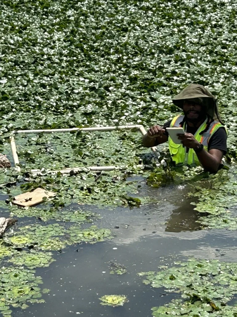
At TAFARI Remote Sensing, we specialize in high accuracy aerial data capture and advanced geospatial analysis tailored for environmental, agricultural, and infrastructure applications. Powered by drone and satellite imagery.
With a commitment to accuracy and actionable results, we provide custom geospatial data products to support decision-making in environmental science, agriculture, and infrastructure planning. From image acquisition to final analysis, our work is rooted in science and precision.
OUR PURPOSE
Our Services


Contact Us
Interested in working together? Fill out some info and we will be in touch shortly. We can’t wait to hear from you!