Geographic Information Systems
We utilize Geographic Information Systems (GIS) and remote sensing technologies to capture, analyze, and visualize spatial data for environmental monitoring, ecological research, and sustainable land management. By integrating drone imagery, satellite data, and geospatial analytics, we deliver actionable insights that support conservation, biodiversity studies, precision agriculture, and natural resource management.
What Do We Measure?
Nesting/Colony Bird Population
Litter/Debris Abundance
Digital Surface Models
How to Work With Tafari?
-
Site Monitoring
We monitor natural environments using drone imagery and remote sensing to track ecosystem changes and landscape dynamics over time.

-
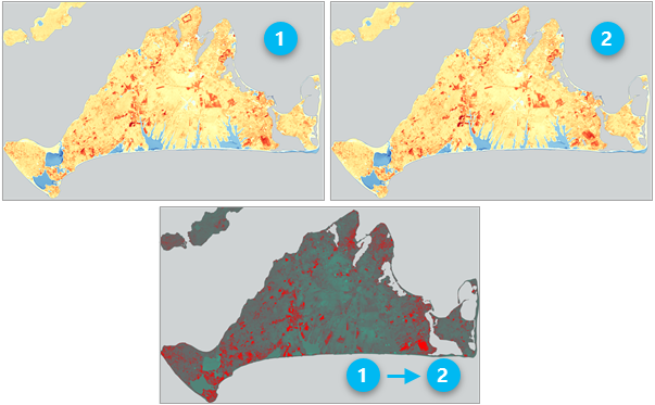
Change Detection
We detect and analyze landscape or infrastructure changes over time using high-resolution imagery to support planning and environmental monitoring.
-
Crop Analysis
Our crop analysis service uses multispectral imaging to assess plant health, optimize inputs, and support precision agriculture.

-
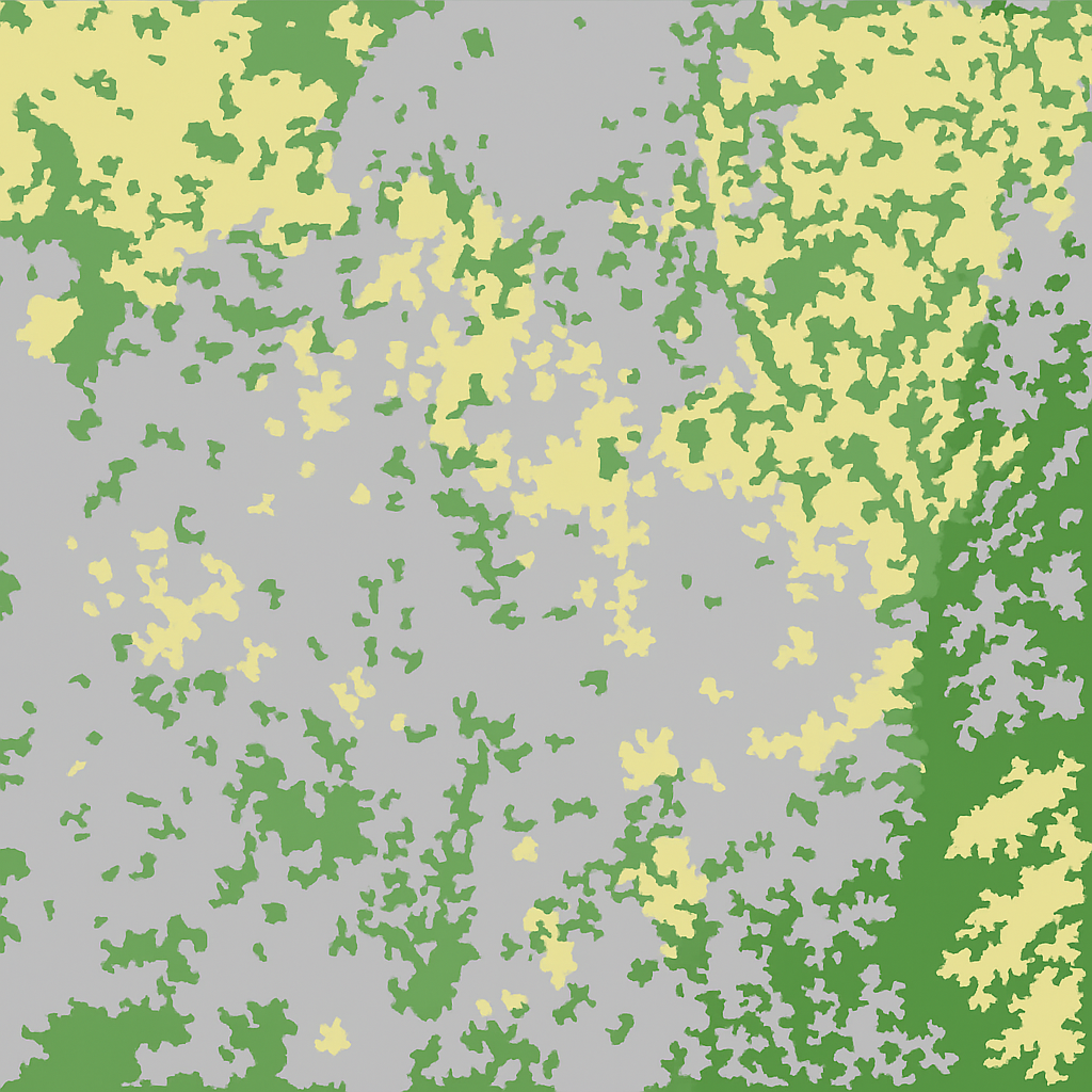
Image Classification
We apply AI-based image classification to identify species and map ecological features from drone for biodiversity research and habitat monitoring.
Contact us
Interested in working together? Fill out some info and we will be in touch shortly. We can’t wait to hear from you!