We are a team of Queens, NY locals specializing in remote sensing, environmental monitoring, and education. With deep roots in our community and expertise in cutting-edge geospatial technology, we use satellite imagery, drones, and GIS tools to assess environmental changes and support sustainable decision-making. Our mission is to bridge science and community by making complex environmental data accessible and actionable for local organizations, educators, and residents alike.
Meet the Team
We’re a hands-on group of specialists who bring diverse skills to the table, from drone mapping and GIS to field science and youth education. While our shared goal is environmental stewardship, each team member brings a distinct focus and background that shapes the way we work.
-
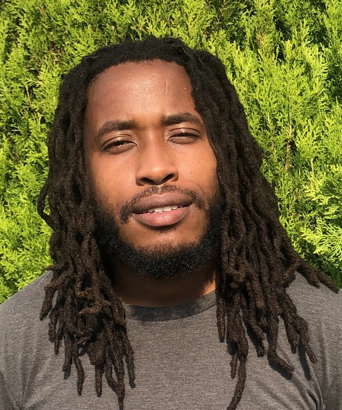
Founder
PhotogrammetyLJ is a licensed commercial drone pilot and GIS analyst with a concentration in aquatic invasive vegetation. He leads our aerial data collection and spatial analysis, helping visualize and track environmental change from above.

-
Educator
Joseph is a DOE teacher who leads our youth engagement initiatives. Through educational programming and student-led projects, he builds meaningful connections between young people and the local environment.

-
MonitoringWill is a seasoned environmental monitor with a strong background in wildlife observation and water quality analysis. He brings deep ecological insight to our field operations, ensuring our work is grounded in real-world environmental conditions.
Contact us
Interested in working together? Fill out some info and we will be in touch shortly. We can’t wait to hear from you!